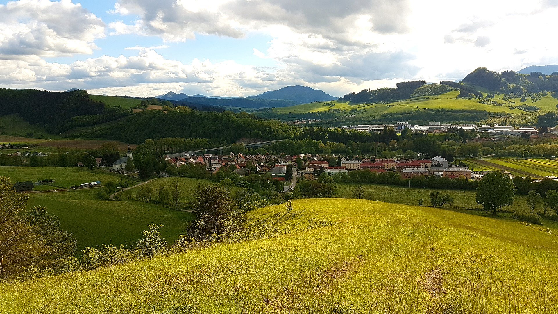
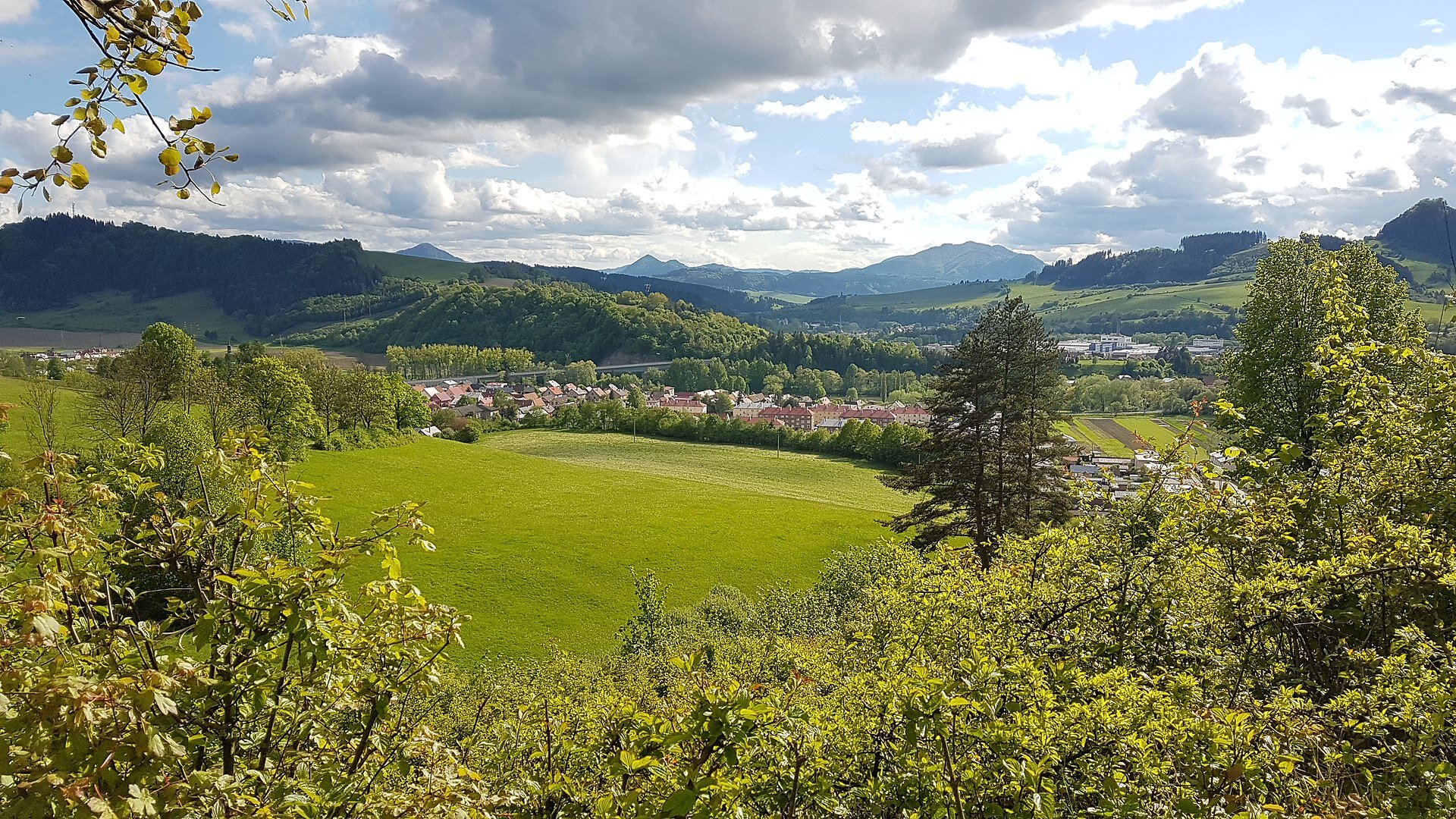
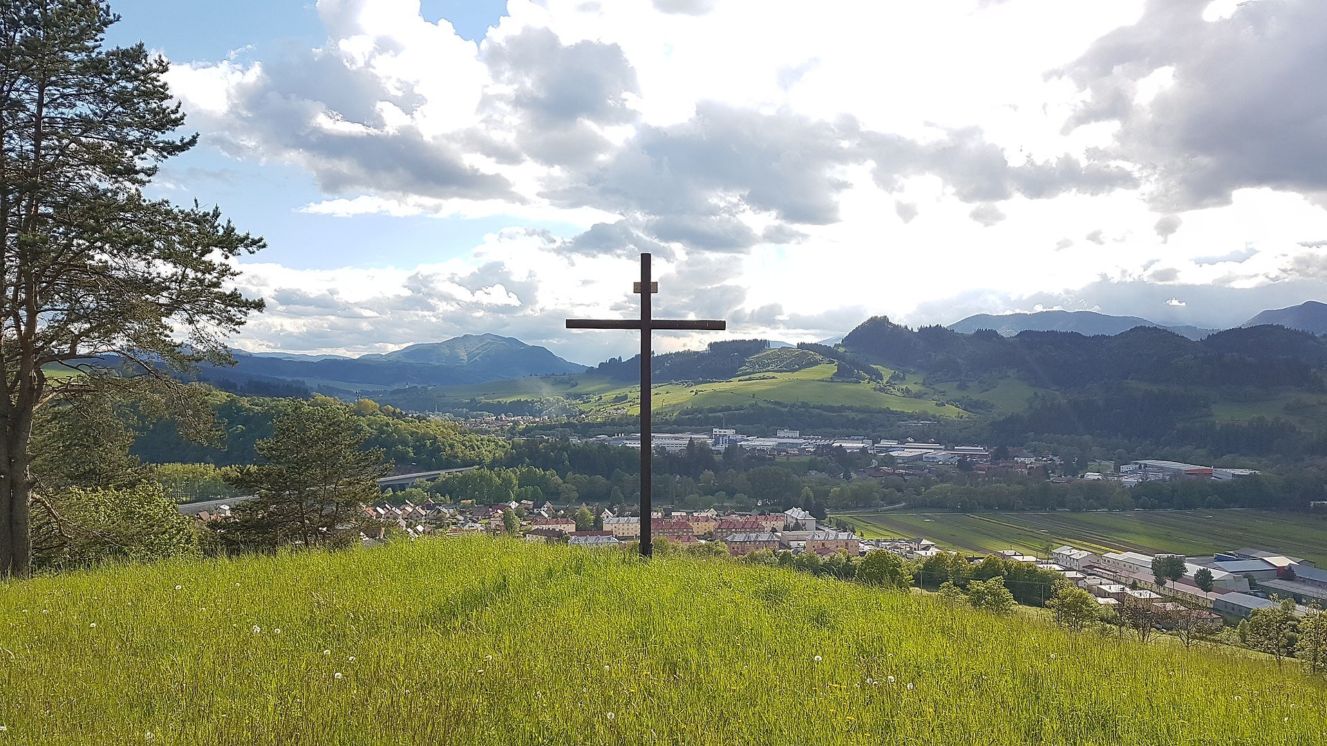
The city part is located in the northeastern part of the city, west of the Mokraď part. The cadastral area is situated on the right bank of the river Orava, below the hill Žiar (606 m). Evropská cesta 75 passes through this part. The only information about the village, as well as about the church, comes from the parish chronicle called "HISTORY DOMUS" and from fragmentary information from various archival records.
The city part is located in the northeastern part of the city, west of the Mokraď part. The cadastral area is situated on the right bank of the river Orava, below the hill Žiar (606 m). Evropská cesta 75 passes through this part. The only information about the village, as well as about the church, comes from the parish chronicle called "HISTORY DOMUS" and from fragmentary information from various archival records.
The official chronicle of the current part of the city was destroyed by fire in the second half of the 20th century. The foundation of the village dates back to the 13th century. In 1345, it appeared in written records about the village under the name Knesy. In 1420, they registered the same village under the name Knese, when it already belonged to the serf villages of the Orava estate. In the privilege of Matej Korvín from 1474, the village is known as Knyesy. Among other things, it mentions that Matej Korvín confirmed his rights and privileges with the priestly geldings, which in practice meant exemption from paying taxes.

 Slovak
 Czech
Czech
 Hungarian
 German