As of 31 December 2014, the municipality of Trnovec nad Váhom had 2,763 inhabitants. From an administrative point of view, it is integrated into the Nitra region and the Šaľa district. The village includes the settlements of Kľučiareň, Horný Jatov and Nový Dvor. The western border of the cadastre of the village with Šaľa is formed by the Váh river, in the north its local part - Veča, in the north Močenok, further northeast in the district of Nitra CabajČápor and Veľká Dolina, in the southeast Jatov in the district Nové Zámky and in the south adjacent to the district Selíc in the district Šaľa.
As of 31 December 2014, the municipality of Trnovec nad Váhom had 2,763 inhabitants. From an administrative point of view, it is integrated into the Nitra region and the Šaľa district. The village includes the settlements of Kľučiareň, Horný Jatov and Nový Dvor. The western border of the cadastre of the village with Šaľa is formed by the Váh river, in the north its local part - Veča, in the north Močenok, further northeast in the district of Nitra CabajČápor and Veľká Dolina, in the southeast Jatov in the district Nové Zámky and in the south adjacent to the district Selíc in the district Šaľa.
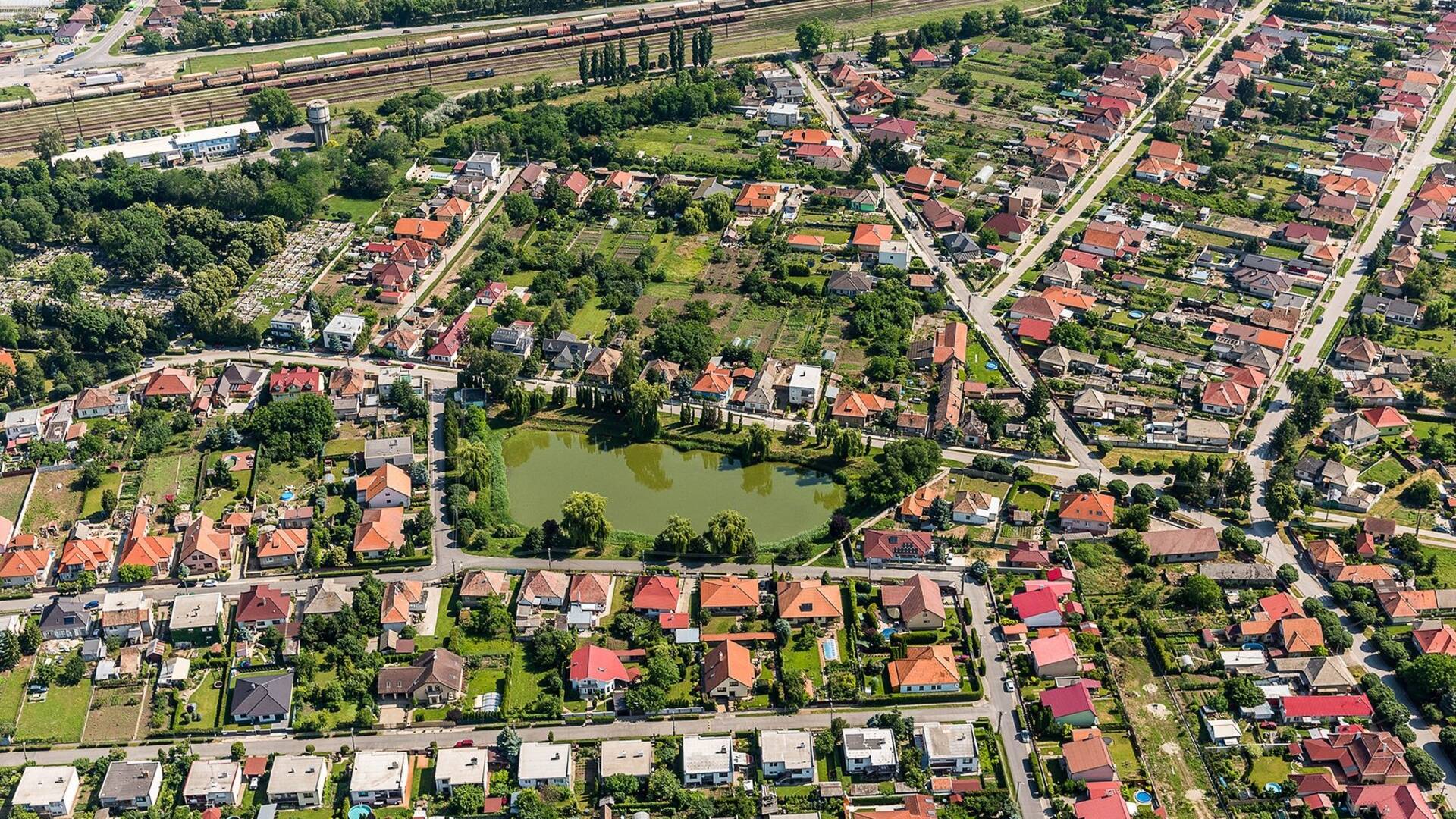
The village has an advantageous geographical location, has a direct and time-saving road connection with the regional city of Nitra and the district town of Šaľa, direct railway connection with the capital Bratislava, respectively. the towns of Nové Zámky and Štúrovo. The village is about 80 km from the Austrian border and 65 km from the Hungarian border. State and public institutions of the district level (district office, district directorate of the police force and other institutions) are located in the district town of Šaľa, which is located approx. 5 km from the village. The first written mention of the village dates back to 1113. The village is a co-founder of the Via Romanum Microregion with the villages of Močenok, Horná Kráľová, Hájske, Dlhá nad Váhom and Selice.

 Slovak
 Czech
Czech
 Hungarian
 German