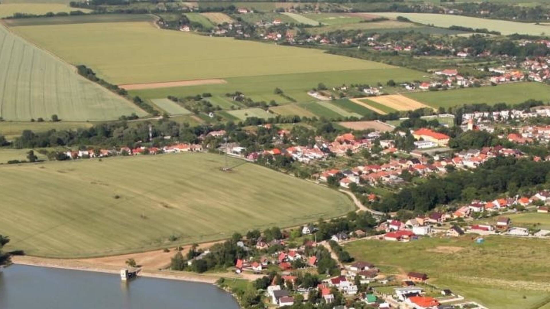
The village of Suchá nad Parnou lies in the Trnava Uplands, partly in the valley of the Podháj and Parná streams. The area of the village with an area of 1438 ha is located at an altitude of 161 -231 m, the center of the village at an altitude of 174 m. The cadastre of the village borders on the east with the village of Šelpice, on the southeast and south with Zvončín and Ružindol, on the west is the village of Dlhá, on the north is Košolná and Boleráz and on the northeast is Klčovany. It is 7 km from Trnava.
The village of Suchá nad Parnou lies in the Trnava Uplands, partly in the valley of the Podháj and Parná streams. The area of the village with an area of 1438 ha is located at an altitude of 161 -231 m, the center of the village at an altitude of 174 m. The cadastre of the village borders on the east with the village of Šelpice, on the southeast and south with Zvončín and Ružindol, on the west is the village of Dlhá, on the north is Košolná and Boleráz and on the northeast is Klčovany. It is 7 km from Trnava.

 Slovak
 Czech
Czech
 Hungarian
 German